It was kind of hot and since we had not been mountain biking in awhile the steepest climbs took a lot out of us (some more than others). We did not have a map got a little disoriented (a theme will develop here) but we completed an 11 mile loop in about 2 hours. We pounded some Powerade and headed back to the NOC to return the bikes and take a look around. The NOC is definitely on the list for a more extended stay. Here is the center of it.
 |
| Nantahala River Runs right through the NOC |
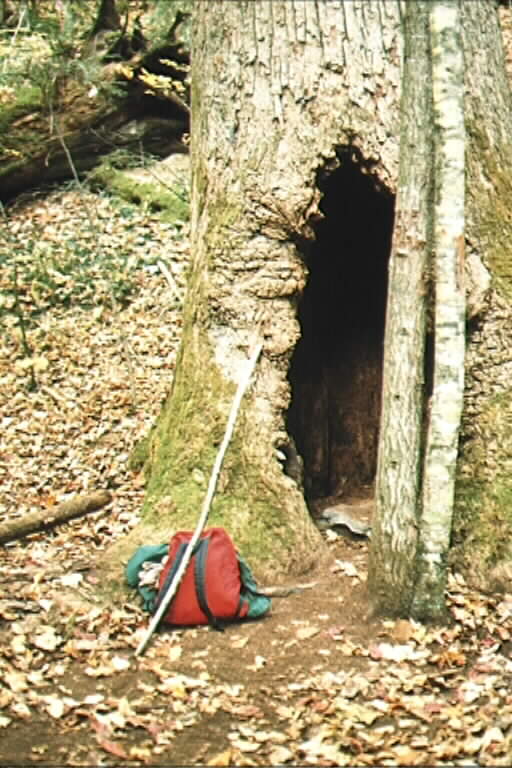
We parked at the designated spot in Joyce Kilmer and left for what we thought was a quick half hour loop to see some old growth timber. Gilligan and the Skipper have nothing on us. Of course with such a short trip we did not take water or any other gear other than Rambler Darryl's IPhone (bless you Steve Jobs and Alexander Graham Bell). What transpired is a six hour slog complete with a dehydrated Rambler (Clydesdale Class), 10+ miles of ground traveled, 3500 feet of elevation gain (and loss), realizing we are lost in a real wilderness (U.S. Gubment designation not your editor's) with night falling, a 911 call, assistance by Graham County's GREAT rescue squad and a march out of the wilderness in the dark complete with drinking out of streams. I can see our Master Card commercial: Osprey backpack with room for lots of stuff - $99, a water pack with pockets for tools, knives and 80 ounces of water - $69, a real map - $5, IPhone flashlight app and getting 3G service at the top of the mountain PRICELESS. Anywho, after entering the forest at 4:00 pm we left the parking lot at 10:00 pm and decided to make the haul back to The Lodge a mere 3.5 hours away (bad day in the decision Olympics for your Ramblers) and arrived as Garmin predicted at 1:40 am (Tuesday) tired, wiser and hurting. Day 4 is shaping up to be a rest day.
The tally for the day:
16 hours
One meal (Breakfast), one snack (Cliff Bar)
300+ miles in The Truck
11 miles/2 hrs of mountain biking
One awesome forest seen
10+ miles and 3500 feet of hiking
A mild case of "Sh** we're lost"
One 911 call
5 rescuers
And technically we did make it to the Cherahala Skyway
As always, keep Rambling (but take water and an iPhone).
 |
| Go F****** Left |
P.S.
For those interested, below is the map at the Joyce Kilmer trailhead. The red "loop" at the far left of the page is the trail we started on - The Naked Ground Trail. Below is the description of the trail we ended up on with editor's comments in RED
- railhead: Take the right fork of the Joyce Kilmer Memorial Trail from the parking area. At about three-tenths of a mile you will come to the Naked Ground Trail junction. It ascends to the right onto the Naked Ground Trail designated by a wooden trail sign. There is also a trailhead out of the Rattler Ford Campground.
- Distance: This is a 5.7 mile backtrack trail and is well used and easy to follow. (OH ITS EASY TO FOLLOW ALRIGHT)
- Difficulty: It is rated as a moderate to strenuous hiking trail with shallow stream crossings.
- Use Guide: The Naked Ground Trail is highly recommended for novices or experienced hikers who are in good condition. It would be a challenge for smaller children. With a group at a casual pace, allow 6-8 hours for the round trip. For the more aggressive hiker, 5-6 hours should be sufficient time. Bring water and protective clothing if your trip is going to be more than a few hours.
- Description: Follow the signs from the information shelter and you will soon cross the Little Santeetlah Creek footbridge and begin an ascent into an old growth forest. There are benches along the route where you can stop to admire this untouched forest. At about two miles there is an alternate trail. It is recommended that you stay on the main Naked Ground Trail at all times. On portions of the trail there are may stands of yellow poplars, rhododendron, and hemlock. There are several stream crossings, many with foot bridges in place. On the lower two-thirds of the trail there are campsites available. The upper portion of the trail turns into a switchback and is quite a steep grade. The trail terminates at Naked Ground Gap (YEA WE MADE IT). There is overused campsites, spring water and the junctions for the Stratton Bald Trail, Haoe Lead Trail, and the Slickrock Creek Trail. Camping at the Gap can be a rewarding experience. However, be prepared for the possibility of high winds and cooler temperatures any time of the year.


No comments:
Post a Comment